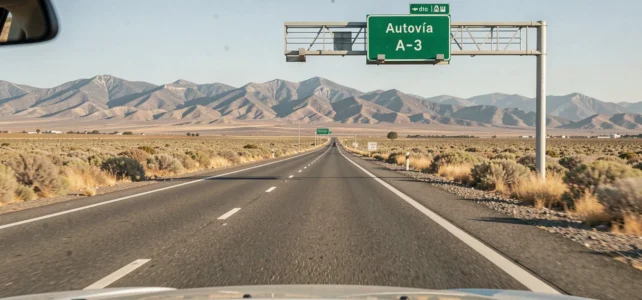
The Spanish highway network mixes free sections and toll sections, sometimes on the same route. For a driver crossing the border at Biriatou or La Jonquera, the difference between an autovía (A) and a toll highway (AP) comes down to a few letters, but the financial impact can reach several dozen euros per trip. Understanding the numbering system, recent fare changes, and regional particularities allows for planning a route that fits one’s budget.
Toll Rates on Spanish Highways in 2026: Increases to Know
Since January 1, 2026, the Spanish government has ended the fare moderation measures implemented in 2022 in response to inflation. The toll highways still concessioned to private entities have seen a increase of 3.6% to 4.7% according to the Ministry of Transport.
For the toll highways managed directly by the state (Madrid radial roads R-2, R-3, R-4, R-5, AP-36, M-12), the increase remains more contained, around a 2% increase on state radials. These routes also retain free nighttime access between 00:00 and 06:00, an advantage rarely noted on consumer GPS devices.
These fare discrepancies make the distinction between free and paid highways more concrete than just a matter of comfort: on a round trip from Barcelona to Alicante, the cost difference between the AP route and the A route can justify a detour of a few minutes. A map of paid and free highways in Spain helps with this identification before departure.
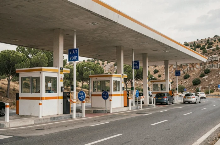
Autovía vs. Autopista: Comparative Table of the Spanish Network
The confusion between the two types of expressways stems from their almost identical appearance on the ground: two lanes in each direction, central divider, similar speed limits. The difference is administrative and financial.
| Criterion | Autovía (A) | Toll Highway (AP) |
|---|---|---|
| Prefix on signs | A- (e.g., A-7, A-2, A-66) | AP- (e.g., AP-7, AP-68, AP-9) |
| Funding | State budget | Private concession |
| Toll | Free | Paid (barriers or closed system) |
| Signage color | Blue with white background | Blue with toll pictogram |
| Maximum speed | 120 km/h | 120 km/h |
The prefix AP always indicates a toll to expect. Conversely, a road prefixed with A is state-funded and remains free. This simple rule covers the vast majority of cases, but a few regional exceptions exist.
The Trap of Mixed Sections on the Same Route
The AP-7 illustrates the complexity of the network. Some sections of this highway have become free after the concession expired, while others remain toll sections. A driver traveling along the Mediterranean coast can alternate between free segments and toll barriers without changing roads.
The case of the AP-68 Bilbao-Zaragoza is even more telling. The concession is set to end in November 2026, which will make travel free for light vehicles in the sections of La Rioja, Aragón, and Navarra. However, the toll will remain in the Basque Country, with a reduction announced in the Álava section (the rate would drop from 22 cents per kilometer to 6 cents per kilometer).
End of Concession and Free Access: A Region-by-Region Process
The gradual release of Spanish highways does not follow a uniform national schedule. Each concession has its own expiration date, and autonomous communities can decide whether or not to maintain a toll on their section.
- The Madrid radials (R-2, R-3, R-4, R-5) have reverted to state management with a reduced toll and free nighttime access between 00:00 and 06:00.
- The AP-7 along the Mediterranean coast has seen several sections become free in recent years, but sections in Catalonia and the Valencian Community remain concessioned.
- In 2026, Sacyr will lose management of three autovías in the Balearic Islands, Murcia, and Burgos, further expanding the free network.
- The AP-68 illustrates a scenario of fragmented transition where the same highway will have three different toll regimes depending on the autonomous community crossed.
This mosaic makes traditional GPS applications unreliable for anticipating costs. The “fastest” route suggested by a navigator rarely incorporates the details of recently freed sections.

Configuring Your GPS or App to Avoid Spanish Tolls
Most navigation applications (Google Maps, Waze, Apple Maps) offer an option to “avoid tolls.” In Spain, this function has a limitation: it bypasses all highways marked as toll in the database, including those whose concession has recently expired.
The result is an itinerary that can sometimes be unnecessarily long, passing through national roads when a free autovía existed. To correct this bias, two approaches work better than a simple automatic setting:
- Check the prefix of each highway on the proposed route. If the GPS shows A-7 or A-66, the road is free. If it’s AP-7 or AP-9, a toll is likely.
- Cross-reference the route with a recent map that distinguishes between still-active concessions and freed sections.
- Activate navigation section by section rather than selecting a global “no toll” setting, to maintain control over each part of the journey.
The prefix A or AP remains the most reliable marker on the ground, even when the GPS database is not up to date. Physical signs, however, are modified as soon as the concession officially ends.
The Case of Tall Vehicles and Motorhomes
Vehicles over two meters in height or classified in a higher category pay increased rates on toll highways. For a motorhome, the cost on a trip like Barcelona-Malaga via the still-active AP sections can represent a significant extra cost compared to a light vehicle. The route via the free autovías then becomes particularly cost-effective, even if the travel time is slightly longer.
The Spanish highway network is transforming each year as concessions expire. By the end of 2026, the AP-68 will be the next major route affected, with a shift to partial free access that will redefine routes between the north and center of the country. Before each departure, checking the status of the sections remains the only method to avoid both unexpected tolls and unnecessary detours.